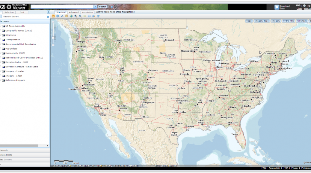
The USGS (U.S. Geological Survery) has put 178,000 maps online, some back to 1880 online. [1]
See Wired for an article.
The maps are HERE.
I haven’t had time to play with it yet, but it looks cool!
FYI – Just like NASA Images, these maps are free!

The USGS (U.S. Geological Survery) has put 178,000 maps online, some back to 1880 online. [1]
See Wired for an article.
The maps are HERE.
I haven’t had time to play with it yet, but it looks cool!
FYI – Just like NASA Images, these maps are free!